
Bennington, VT
Severe Thunderstorm Watch Issued for Bennington, Vermont as State Officials Urge Preparedness
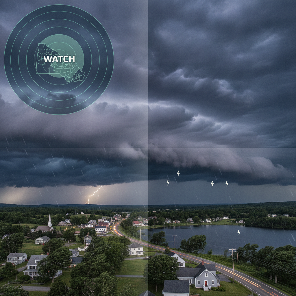
The National Weather Service issued a Severe Thunderstorm Watch for Bennington, Vermont, and surrounding areas. Officials urge residents to prepare for damaging wind gusts, large hail, localized heavy downpours, and potential power outages across Bennington County.

Last updated:
A Severe Thunderstorm Watch has been issued for Bennington and surrounding areas across Bennington County, prompting state emergency officials to advise residents to review safety plans and secure outdoor property. The notification was distributed through the VT-Alert emergency system following meteorological guidance issued by the National Weather Service.
Severe Thunderstorm Watch Issued for Bennington
Under the watch, atmospheric conditions are considered favorable for the rapid formation of strong to severe convective storms. These systems have the potential to produce damaging wind gusts, large hail, intense cloud-to-ground lightning, and localized heavy downpours that can impact evening routines, transit, and local infrastructure.
Primary Weather Hazards Identified
Forecasters and emergency management personnel have highlighted several distinct hazards associated with the incoming weather pattern:
- Damaging Winds: Thunderstorm wind gusts are projected to reach or exceed 58 to 60 mph. Winds of this intensity are capable of bringing down large tree limbs, toppling utility lines, and causing structural damage to roofs and home siding.
- Large Hail: Storm cells may produce hail measuring 1 inch in diameter or larger—roughly the size of a quarter—posing a risk to vehicles, crops, and exterior property.
- Heavy Downpours and Lightning: Torrential rainfall may cause rapid water accumulation and localized ponding on roadways, increasing the risk of hydroplaning for motorists. Frequent lightning strikes also present hazards for anyone outdoors.
- Isolated Tornado Threat: While straight-line winds and hail remain the primary concerns, officials note that an isolated spin-up cannot be completely ruled out along intense storm lines.
Watch Versus Warning: What Residents Need to Know
Public safety officials emphasize the operational difference between a weather watch and a weather warning, encouraging the public to understand the appropriate response for each designation.
A Severe Thunderstorm Watch indicates that atmospheric ingredients are in place for severe weather to develop within or near the designated watch area. It serves as an early notice for families, property owners, and local businesses to remain vigilant, monitor radar trends, and prepare to act quickly if conditions deteriorate.
Conversely, a Severe Thunderstorm Warning is issued when severe weather has been detected by Doppler radar or verified on the ground by trained weather spotters. When a warning is triggered for a specific community, immediate protective action is required to avoid injury and property damage.
Why it matters here
In southern Vermont, severe summer weather events can rapidly disrupt everyday operations, challenge municipal road networks, and impact utility services. Fallen branches and downed power lines can lead to isolated electrical outages across Bennington County, creating difficulties for households and small businesses.
Given the region’s varied terrain and tree canopy, high wind gusts present a direct risk of localized property damage and blocked roadways. Proactive measures by individual property owners—such as securing loose outdoor equipment and maintaining backup power sources—help reduce the strain on local first responders and public utility crews during peak storm windows.
Community Preparedness and Safety Recommendations
Vermont Emergency Management and local officials recommend practical steps to safeguard life and property while the watch remains active:
- Secure Outdoor Property: Fasten or bring inside lightweight items, including patio furniture, trash bins, grills, and garden tools, which can become dangerous airborne projectiles in high winds.
- Charge Necessary Devices: Ensure mobile devices, portable power banks, and flashlights are fully charged in anticipation of possible power outages caused by fallen power lines.
- Monitor Reliable Alert Channels: Keep a National Oceanic and Atmospheric Administration (NOAA) Weather Radio active or ensure notifications are enabled through the state’s VT-Alert system for immediate localized alerts.
- Identify Sheltering Locations: If a warning is activated, seek shelter inside a sturdy structure. Move to an interior room on the lowest floor, maintaining distance from windows, skylights, and glass exterior doors. Avoid parking vehicles underneath large trees or lingering in open spaces.
Background and Regional Emergency Response
The VT-Alert system, managed by Vermont Emergency Management, serves as the state’s primary notification platform to inform residents of critical weather hazards, infrastructure emergencies, and public safety updates. Coordinated forecasts between regional National Weather Service offices and state personnel ensure that local jurisdictions in Bennington receive real-time situational awareness as storm fronts advance across the region.
Sources
This article was produced with the assistance of AI and reviewed by our editorial team.
Related: Protecting Local Control of Data Centers Act Introduced in Congress to Guard Municipal Authority
Related: States Train Private Landowners to Clear Forest Overgrowth as Prescribed Burning Gains Ground
Related: Fighting Fire with Fire: How One Small Town Is Shielding Itself from Catastrophic Wildfire
Related: Cities Deploy AI to Slash Building Permit Delays and Cut Red Tape for Homebuilders
Related: NewsWK App now available for Iphone and Android Users
Related: News That Works
See a typo? Report it here.